
Geospace NZ — The Complete Geospatial Services Support Company
Auckland, New Zealand
The Complete Geospatial Services Support Company
New Zealand's precision geospatial hardware and systems specialists
View ProductsProduct Categories
Browse by system
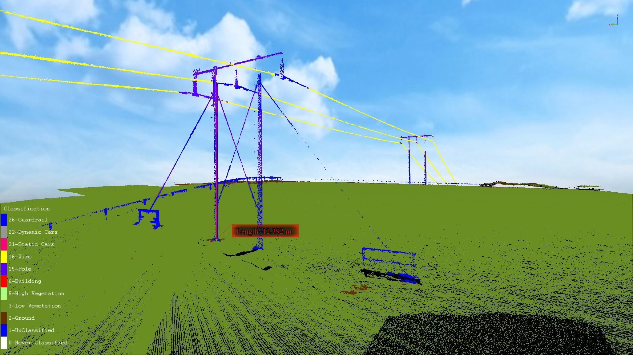
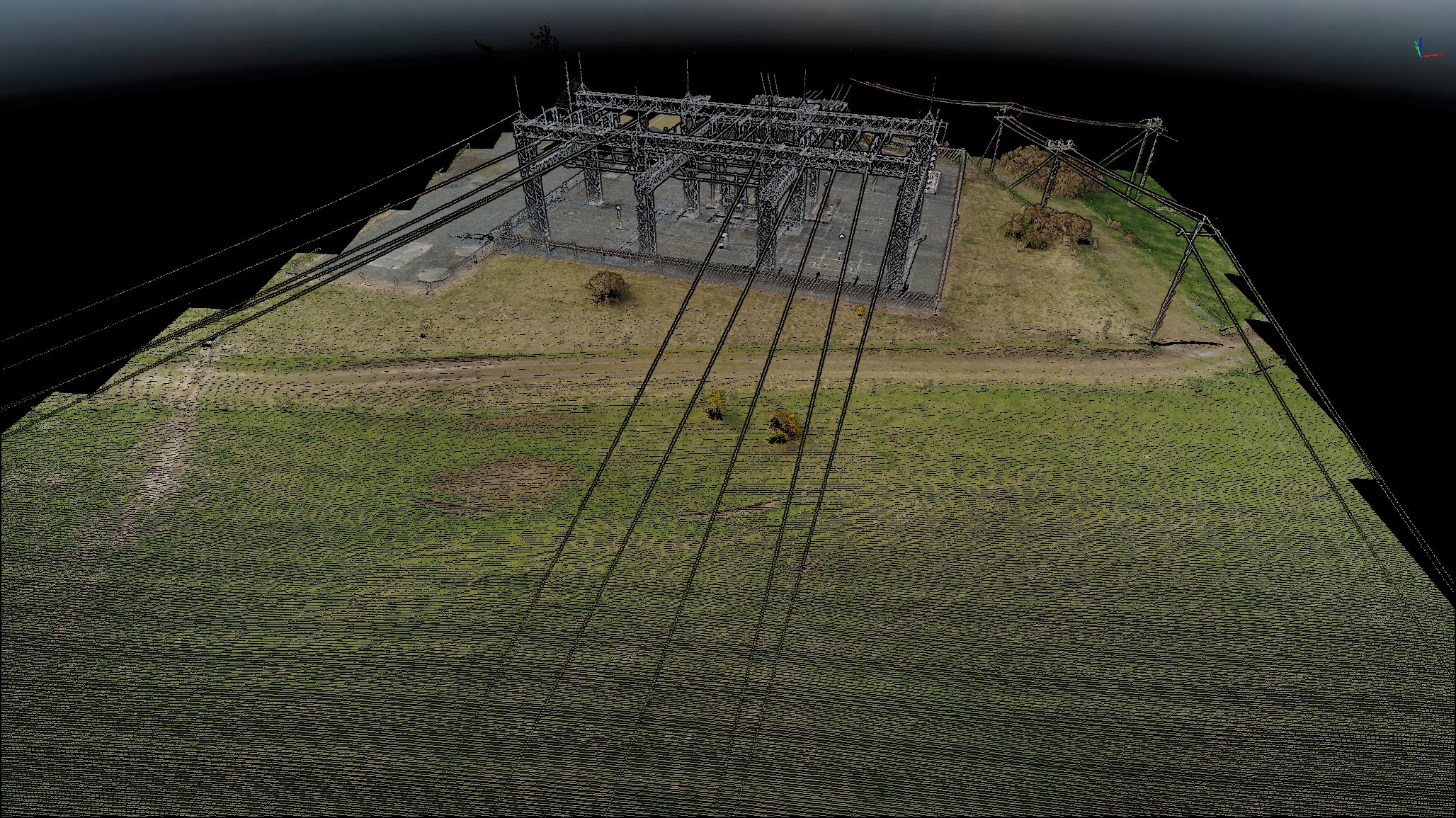
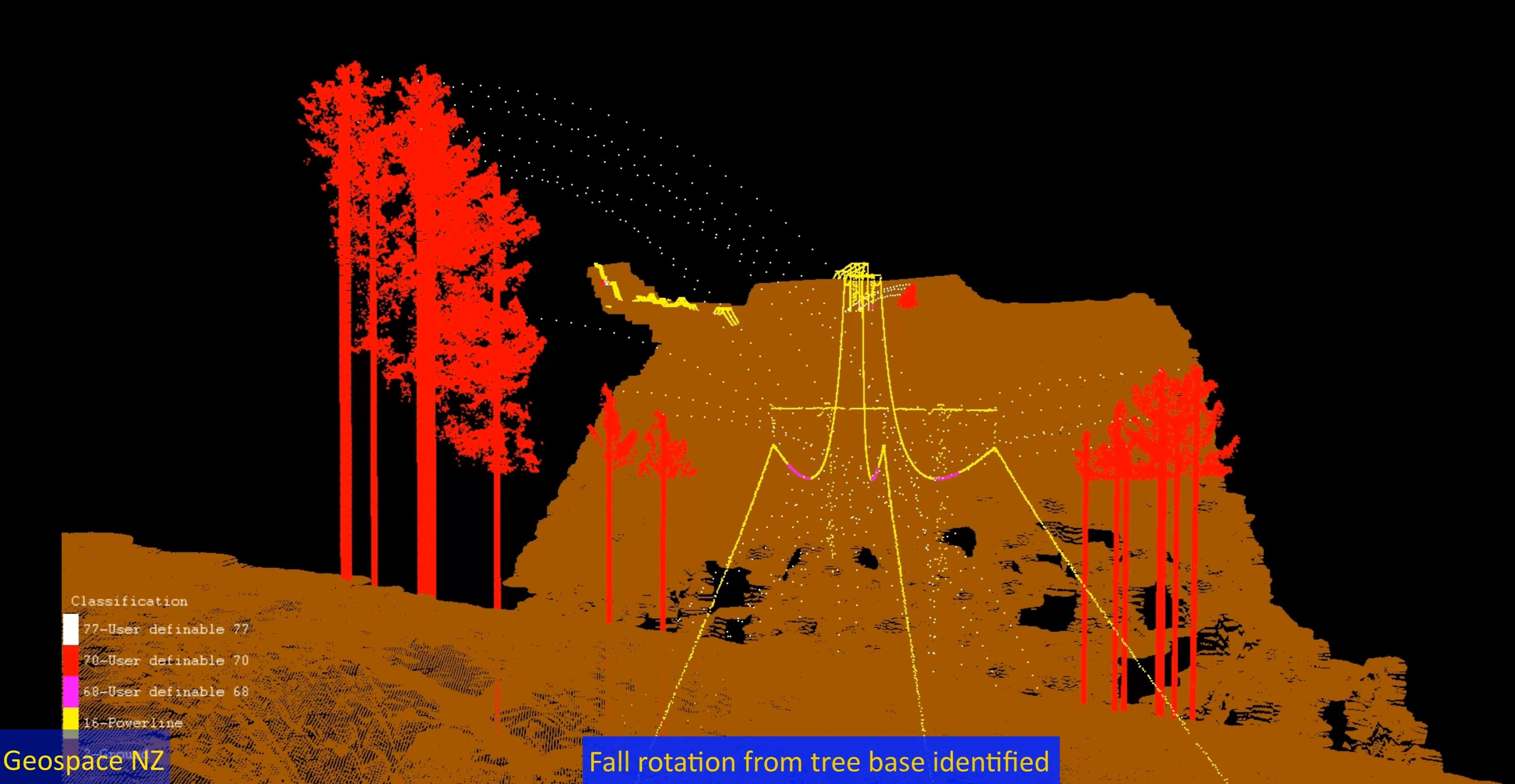
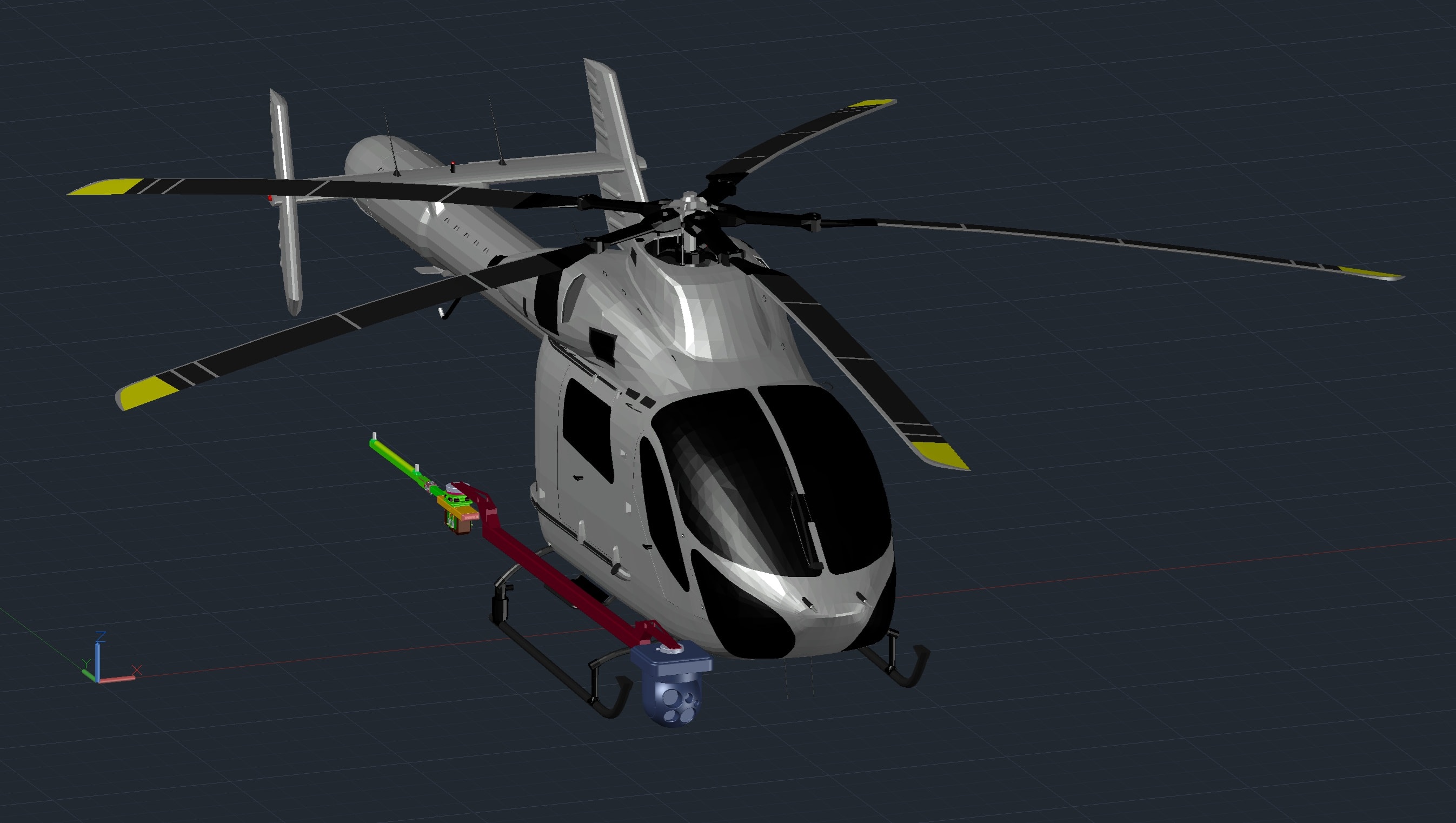
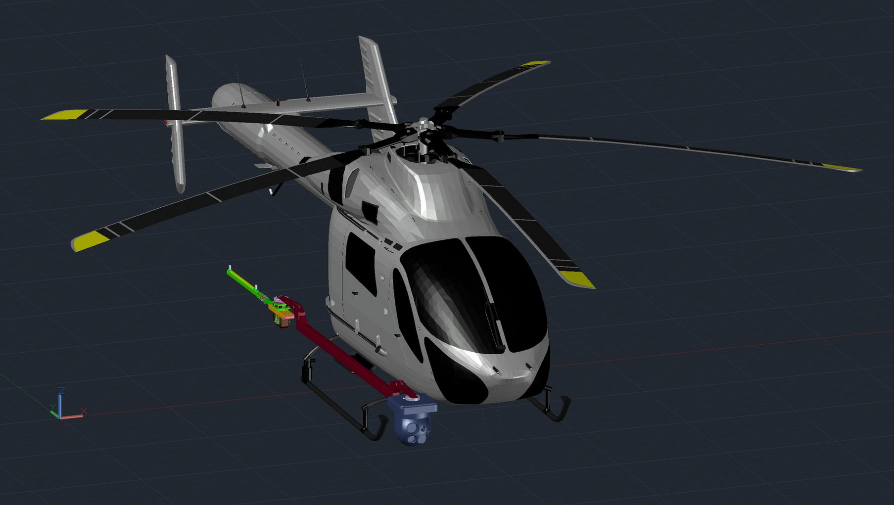
Helicopter LiDAR
Certified helicopter-mounted LiDAR survey systems for large-area terrain mapping, corridor surveys, and precision topographic data capture across New Zealand.
Geospace Helicopter LiDAR System — Certified

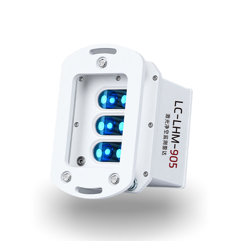
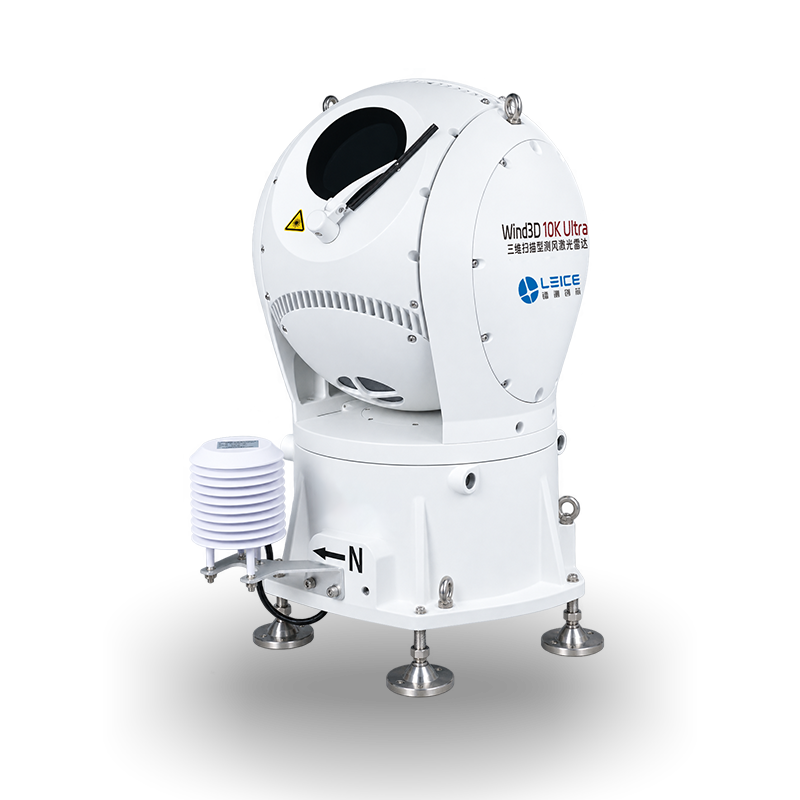
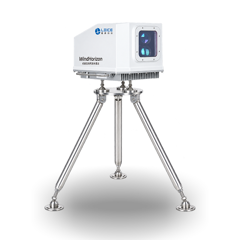
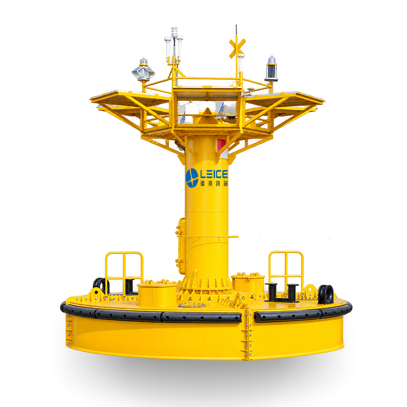
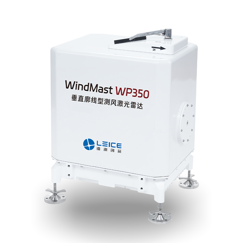
Leice LiDAR
DNV bankable wind LiDAR systems for wind energy, meteorology, environment, and aviation — vertical profile, 3D scanning, nacelle, floating buoy, and boundary layer LiDAR.
WindMast WP350, Wind3D 10K / Ultra / Hyper, Wind3D 6000, WindHorizon, CO₂Flux, MWRA 12K
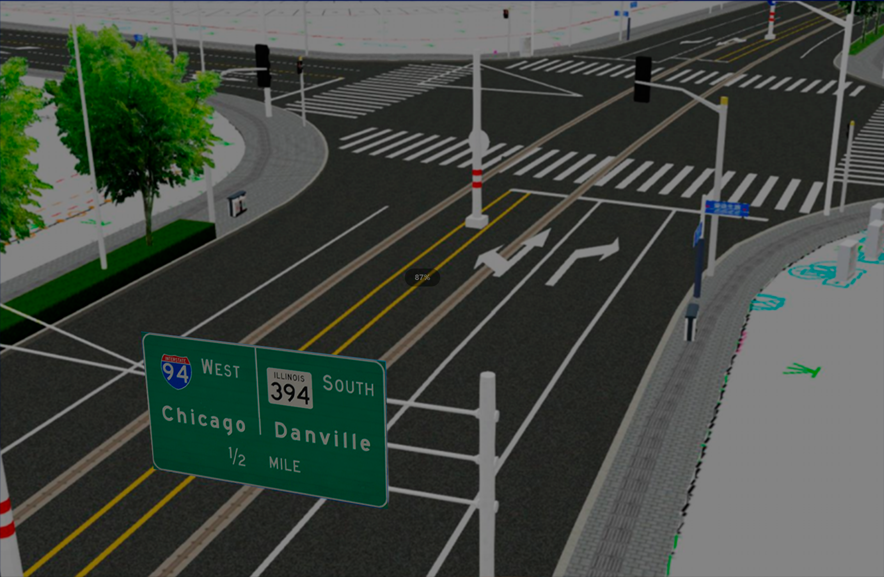
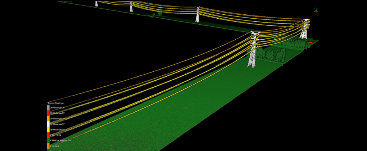
LiDAR360 Software
GreenValley International LiDAR360 MLS — intelligent point cloud extraction and analysis software for vehicle-mounted, backpack, and handheld mobile mapping systems. 500+ processing tools, AI asset extraction, Gaussian splatting, BIM, road condition, and terrain analysis.
LiDAR360 MLS · Floor Plan · BIM · Road Condition · Urban Forestry · Gaussian Splatting
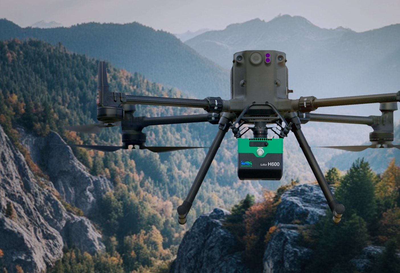
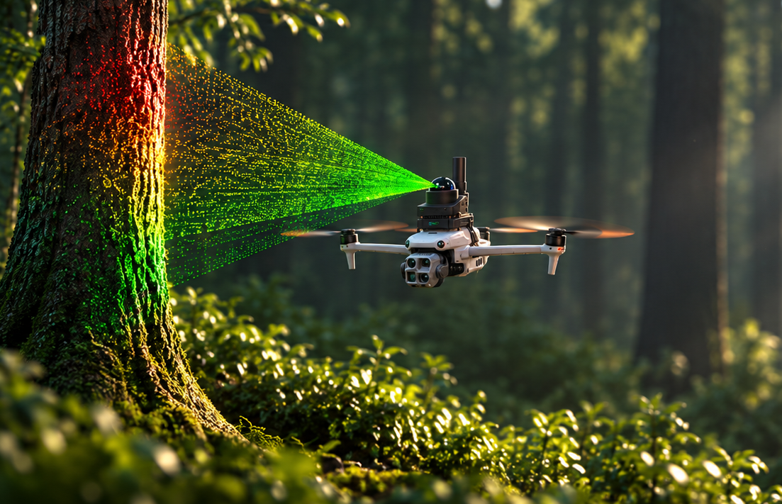
Greenvalley International LiDAR
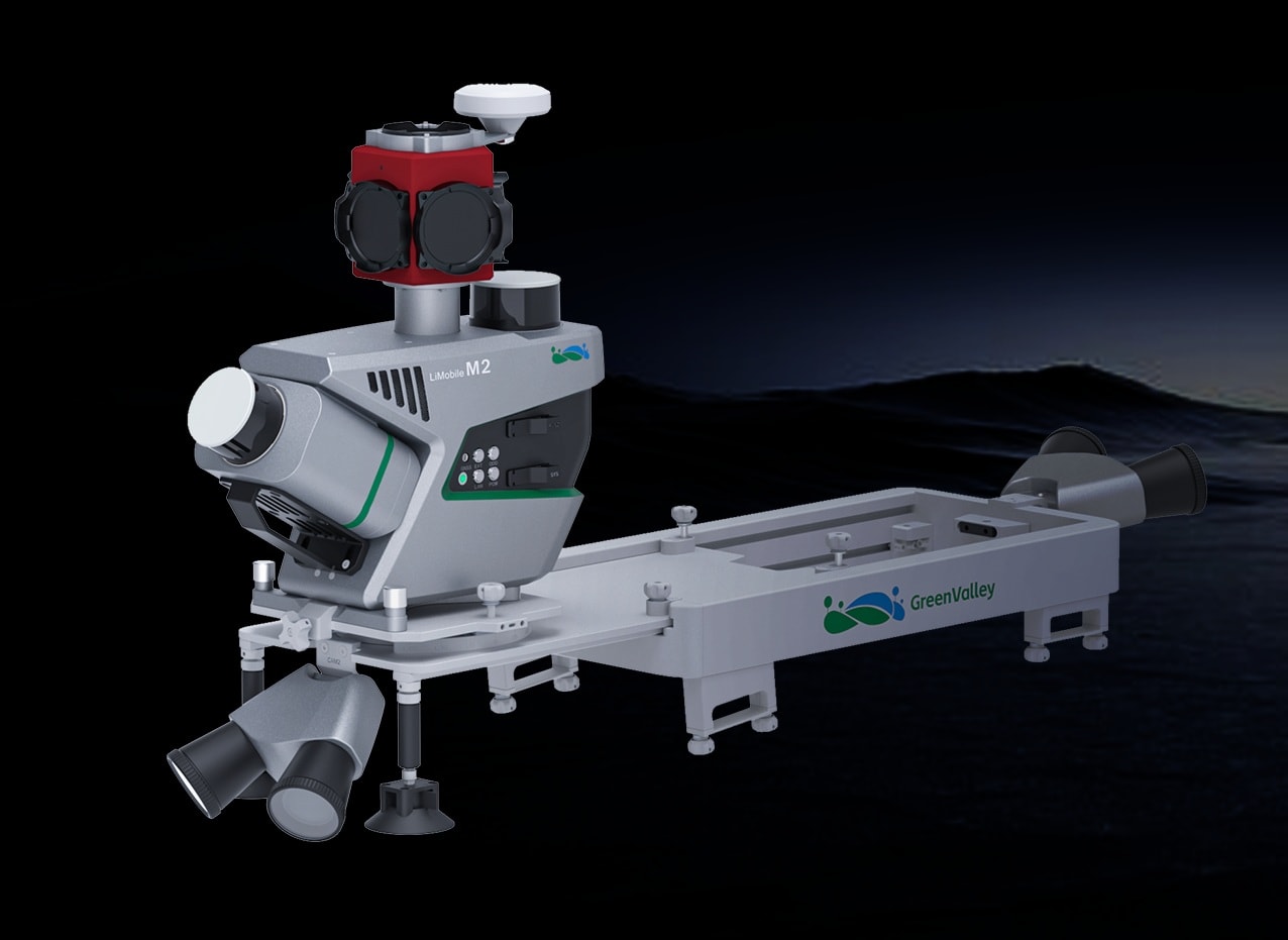
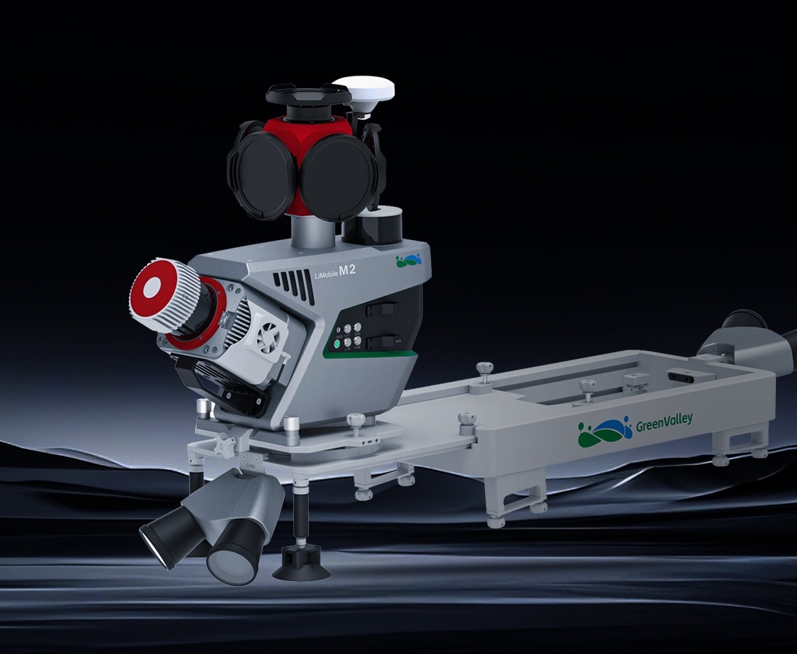
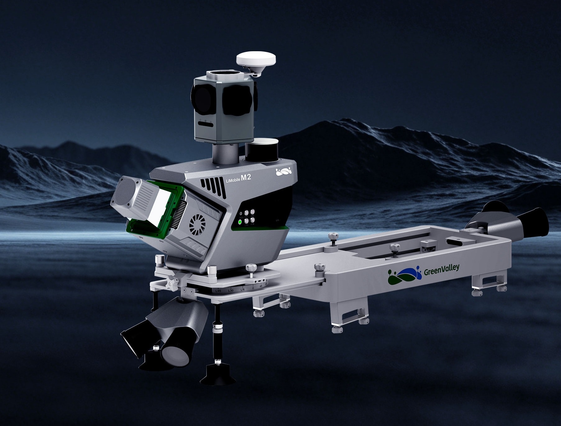
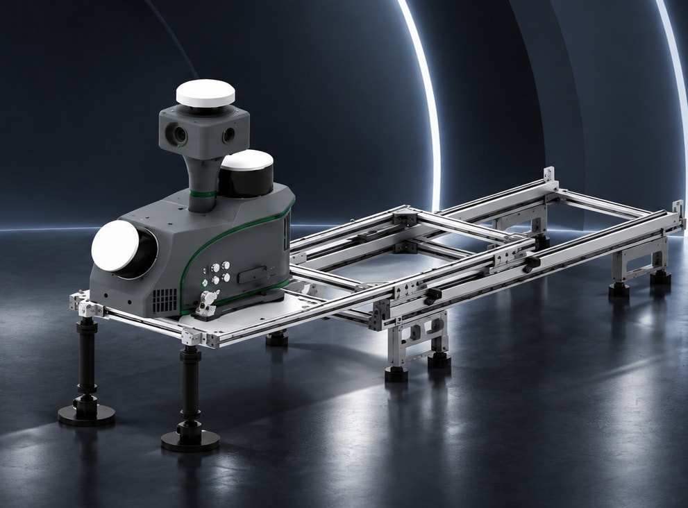
GreenValley International mobile and backpack LiDAR systems — wearable SLAM scanning and vehicle-mounted corridor mapping for every platform and environment.
Li-Backpack SLAM DGC50 / C50 · LiMobile M2 / Lite / Pro / Ultra
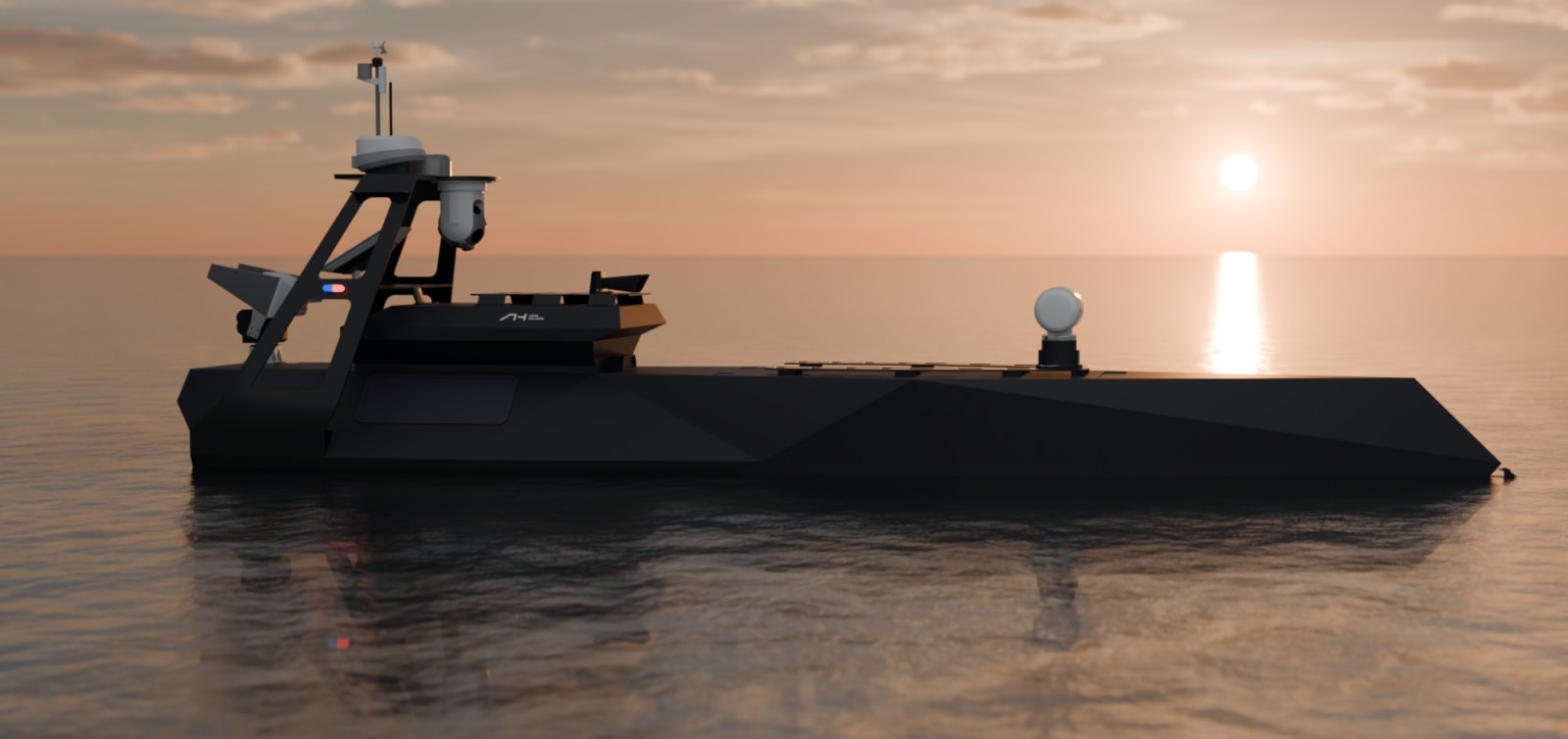
Aqua Helpers USV
Unmanned surface vehicles for hydrographic survey — shallow water bathymetry, riverbed mapping, and coastal survey with RTK positioning and single/multi-beam sonar.
0.2m–120m depth · 1cm range accuracy · RTK ±15mm
Partners & Supported Software

Video Gallery
See Our Systems in Action

Individual Tree Segmentation from Backpack LiDAR
Watch →
LiDAR on E-Bike Excursion
Watch →
LiDAR Scanning in Action
Watch →
Neuvition M2X Automated Traffic Detection, Classification and Analysis
Watch →
Neuvition Aircraft Docking LiDAR
Watch →
Backpack LiDAR in a Forest
Watch →
Geospace Helicopter LiDAR in Action
Watch →
Geospace Mobile Mapping
Watch →